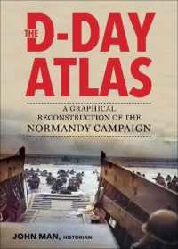
An Illustrated Guide to One of the Greatest Events of World War II
The Allied landing in German-occupied Normandy on June 6, 1944 was the greatest amphibious operation in military history. In the months that followed, German forces, outnumbered and outgunned, fought one of the most tenacious and skillful defensive campaigns of the entire war. This magnificent graphical reconstruction details the momentous events of the Normandy campaign from its conception through to the destruction of the German 7th and 5th Panzer Armies at Falaise and the Allied liberation of Paris.
Included in The D-Day Atlas are:
Disposition and movements of military units
Plans and objectives of the commanders on both sides
Nature of the Normandy terrain
Role of Allied air interdiction and long-range naval fire support
Movement of reserve units and supplies
Activities of the French Resistance
Follow troop movements and positions throughout the Normandy campaign to discover how the British, American, and Commonwealth troops reached victory.